Finley Schmid · 23 September 2026
Tracing Subsurface Patterns Through Portable Spectrometry in Resource Site Assessments
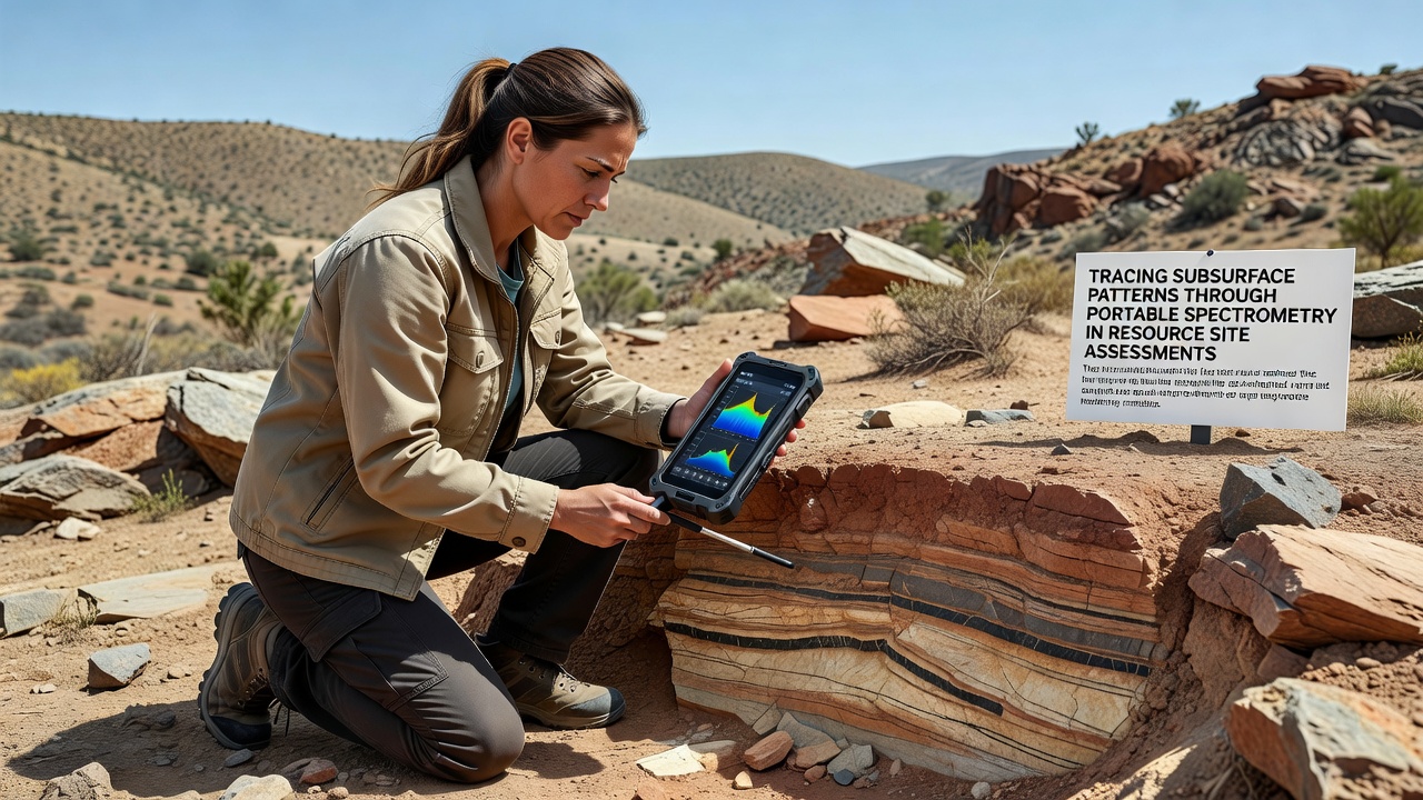
Portable spectrometry has emerged as a key method for mapping subsurface mineral distributions in resource site assessments where traditional drilling campaigns prove costly or logistically challenging. Operators carry compact devices across terrain while collecting spectral signatures that reveal elemental and mineralogical variations at depth. These instruments measure reflectance across visible, near-infrared, and short-wave infrared ranges, allowing rapid identification of alteration zones associated with ore bodies without extensive excavation.
Core Principles of Portable Spectrometry
Devices operate by directing light at a surface and recording the wavelengths that return, then compare those patterns against reference libraries of known minerals. Researchers have documented how iron oxides, clays, and carbonates each produce distinct absorption features that remain detectable even when covered by thin soil or vegetation layers. Data processing software converts raw spectra into mineral abundance maps that guide follow-up drilling, and field teams often integrate GPS coordinates to build three-dimensional subsurface models in real time. According to studies from the Geological Survey of Canada, spectral libraries compiled from thousands of core samples improve classification accuracy when local geology varies from global databases.
Field Deployment Practices
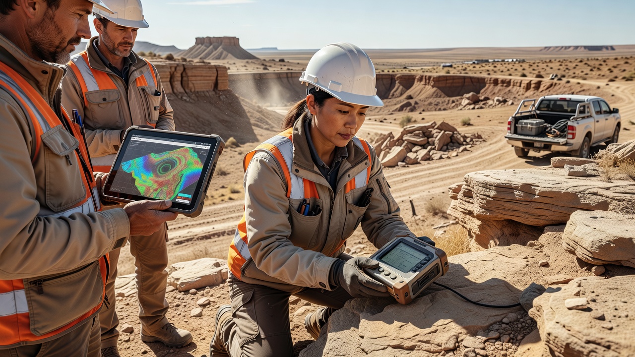
Teams begin assessments by establishing calibration points using laboratory-validated samples from the same district, which reduces errors caused by atmospheric moisture or instrument drift during long traverses. Surveys proceed along systematic grids, with readings taken every few meters to capture lateral changes in mineral composition. Portable units typically weigh under two kilograms, enabling coverage of several hectares per day when terrain permits, and battery systems support continuous operation through eight-hour shifts. Observers note that coupling spectrometers with unmanned aerial vehicles extends reach into steep or unstable ground where foot access remains limited.
Data Integration and Interpretation
Raw spectra undergo continuum removal and feature extraction before classification algorithms assign mineral identities, while machine-learning models trained on regional datasets refine predictions for mixed mineral assemblages. Geologists combine these outputs with magnetic, radiometric, and LiDAR datasets to constrain depth estimates, since surface spectra alone cannot quantify vertical extent. Reports from Geoscience Australia indicate that integration of spectral maps with existing geophysical surveys has reduced the number of exploratory boreholes required at several iron-oxide-copper-gold prospects by identifying priority targets early in the program. Software platforms now export results in standard formats compatible with mine-planning packages, allowing engineers to update resource models within hours of field collection.
Recent Applications and September 2026 Findings
Exploration companies have applied portable spectrometry across copper porphyry districts in the Andes, nickel laterite zones in Western Australia, and rare-earth carbonatites in East Africa. In each setting the method highlights alteration halos that extend beyond surface outcrops, guiding drill placement and reducing overall exploration expenditure. A September 2026 technical symposium organized by the Society of Economic Geologists presented comparative results from five continents, showing average improvements in target delineation efficiency when spectral surveys preceded conventional drilling. Participants shared case examples where spectral anomalies aligned with ore intercepts at depths between 50 and 300 meters, confirming the technique's value for vectoring toward buried mineralization.
Operational Constraints and Calibration Needs
Although portable units deliver rapid results, vegetation cover thicker than a few centimeters can mask underlying signatures, requiring supplementary soil sampling or vegetation correction algorithms. Instrument calibration against certified reference materials must occur at the start and end of each day to maintain measurement consistency, and operators record ambient temperature and humidity because these variables affect detector response. Regulatory frameworks in multiple jurisdictions now require documented quality-control procedures for spectral data used in resource reporting, aligning with standards set by the Canadian Institute of Mining and international reporting codes. Teams address these requirements by maintaining audit trails that link every spectrum to its location, time stamp, and calibration record.
Conclusion
Portable spectrometry continues to support resource site assessments by delivering high-density mineralogical information at lower cost than extensive drilling alone. Integration with complementary geophysical and geochemical datasets strengthens subsurface pattern recognition, while ongoing refinements in hardware and processing software expand the range of environments where the method proves effective. As exploration programs incorporate September 2026 findings into planning cycles, the technique remains a standard component of modern site evaluation workflows across diverse geological settings.